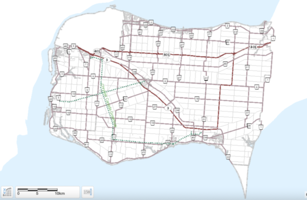
Scaled aerial maps of Essex County based on photography done in 2021 are now available on the county’s interactive mapping site.
This fully-rectified and scaled (ortho) aerial photography of the region (including Windsor and Pelee Island) allows users to look at the photographs, zoom into selected areas, obtain coordinates, measure distances between objects, print or save portions of the images and more.
The imagery was captured in March 2021 with 10 cm resolution by First Base Solutions.
It is also available via the county’s open data portal.